Comparing the accuracy of single trees delineation from ALS – Bc. Alejandro Rodríguez Vivancos
Bc. Alejandro Rodríguez Vivancos
Master's thesis
Comparing the accuracy of single trees delineation from ALS
Abstract:
This study analyses different Individual Tree Detection (ITD) techniques from airborne LiDAR data (Airborne Laser Scanning, ALS), to increase the knowledge of this potential methodology, since it offers detailed information at the stand scale. Two segmentation techniques of the Canopy Height Models (CHM) are evaluated: First, the watershed segmentation by an elaborating process in ArcMAP. Then, testing …more
Language used: English
Date on which the thesis was submitted / produced: 19. 4. 2021
Thesis defence
- Supervisor: doc. Ing. Peter Surový, PhD.
Citation record
ISO 690-compliant citation record:
RODRÍGUEZ VIVANCOS, Alejandro. \textit{Comparing the accuracy of single trees delineation from ALS}. Online. Master's thesis. Praha: Czech University of Life Sciences Prague, Faculty of Forestry and Wood Sciences. 2021. Available from: https://theses.cz/id/01esse/.
Full text of thesis
Contents of on-line thesis archive
Published in Theses:- světu
Other ways of accessing the text
Institution archiving the thesis and making it accessible: Česká zemědělská univerzita v Praze, Fakulta lesnická a dřevařskáCzech University of Life Sciences Prague
Faculty of Forestry and Wood SciencesMaster programme:
Forestry, Water and Landscape Management
Theses on a related topic
-
Automatic Tree Detection and Delineation of Norway Spruce (Picea Abies) using UAV imagery across the Czech Republic
Salma Bijou -
Calculation of forest stand heights on the basis of airborne laser scanning on the territory of Training Forest Enterprise Křtiny
Andrea Procházková -
Automatic Tree Detection and Delineation of Norway Spruce (Picea Abies) using UAV imagery across the Czech Republic
Salma Bijou -
Exploitation of spectroscopy in proximal and remote sensing for the spatial prediction of soil properties with an emphasis on soil organic carbon content
James Kobina Mensah Biney -
Exploring the potentials of satellite remote sensing for carbon monitoring in European forest systems
Richard Azu Crabbe -
Investigating crop management factor (C) and potential soil erosion in large agricultural landscape: spatiotemporal analysis through remote sensing and land use data
Dawit Ashenafi AYALEW -
Evapotranspiration estimation using remote sensing tools
František Jurečka
Name
Posted by
Uploaded/Created
Rights
Folders
Files
-
Co je jinak přidání souboru
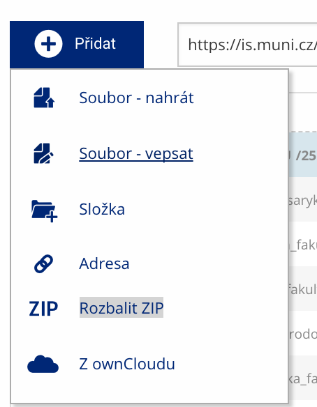 Soubor nebo složku lze nahrát pomocí tlačítka Přidat.
 -
Co je jinak další operace se soubory
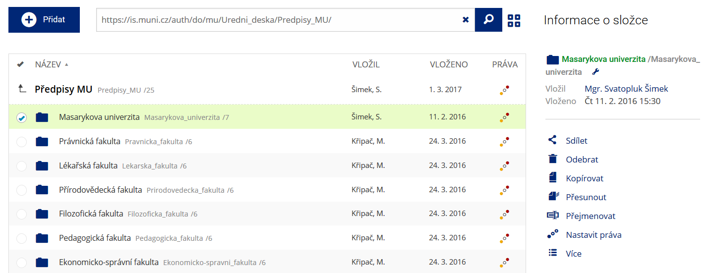 Podrobnosti lze zjistit označením příslušného řádku.
 -
Co je jinak pohled pro experty
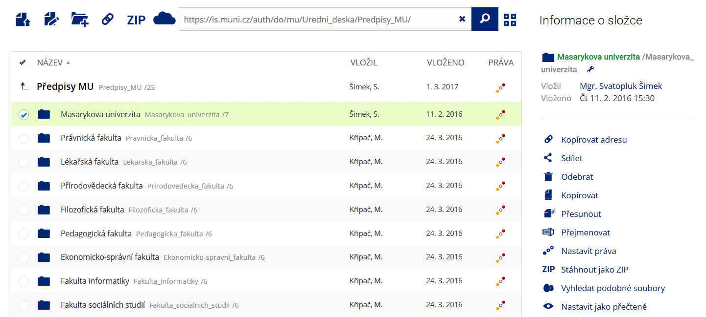 Pro častou práci je možné zvolit režim Více možností.
 -
Co je nové vyhledávání souborů
 Vyhledávaný výraz můžete zadat přímo do adresního řádku.
 -
Co je nové rychlý přístup k souborům
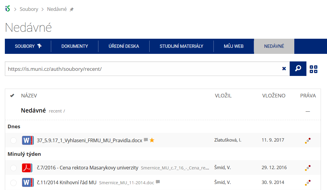 Pomocí funkce Nedávné je možné se rychle vrátit k právě prohlíženým souborům. Oblíbené soubory je také možné označit Hvězdičkou.
 -
Co se chystá
 Připravujeme další vylepšení pro mobilní zařízení.