Využití map stabilního katastru a historických leteckých snímků pro analýzu změn vodních toků a břehové vegetace v modelové oblasti Nebanicka – Tomáš Havlíček
Tomáš Havlíček
Bachelor's thesis
Využití map stabilního katastru a historických leteckých snímků pro analýzu změn vodních toků a břehové vegetace v modelové oblasti Nebanicka
Use of archive maps and aerial photographs for the analysis of changes in water courses and bank vegetation of the Nebanice model area
Language used: Czech
Date on which the thesis was submitted / produced: 30. 4. 2012
Thesis defence
- Supervisor: Ing. Pavel Richter
Citation record
ISO 690-compliant citation record:
HAVLÍČEK, Tomáš. \textit{Využití map stabilního katastru a historických leteckých snímků pro analýzu změn vodních toků a břehové vegetace v modelové oblasti Nebanicka}. Online. Bachelor's thesis. Praha: Czech University of Life Sciences Prague, Faculty of Environmental Sciences. 2012. Available from: https://theses.cz/id/3z51sg/.
Full text of thesis
Contents of on-line thesis archive
Published in Theses:- světu
Czech University of Life Sciences Prague
Faculty of Environmental SciencesBachelor programme:
null
Theses on a related topic
Name
Posted by
Uploaded/Created
Rights
-
Co je jinak přidání souboru
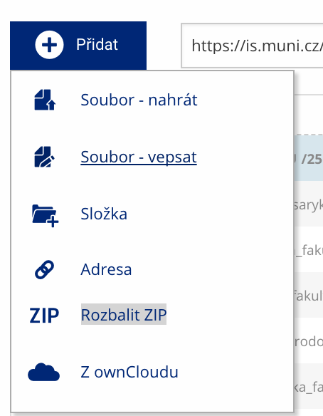 Soubor nebo složku lze nahrát pomocí tlačítka Přidat.
 -
Co je jinak další operace se soubory
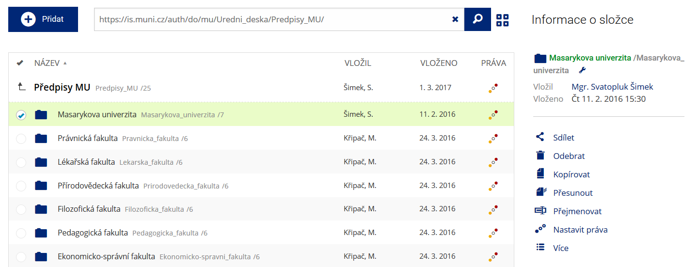 Podrobnosti lze zjistit označením příslušného řádku.
 -
Co je jinak pohled pro experty
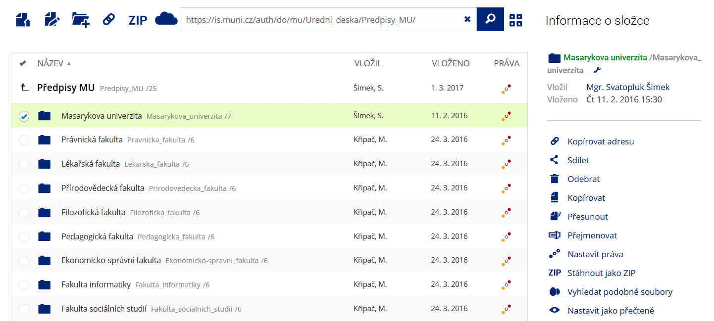 Pro častou práci je možné zvolit režim Více možností.
 -
Co je nové vyhledávání souborů
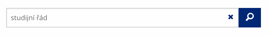 Vyhledávaný výraz můžete zadat přímo do adresního řádku.
 -
Co je nové rychlý přístup k souborům
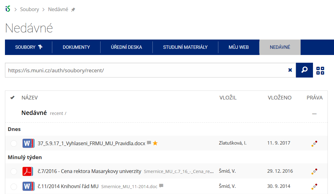 Pomocí funkce Nedávné je možné se rychle vrátit k právě prohlíženým souborům. Oblíbené soubory je také možné označit Hvězdičkou.
 -
Co se chystá
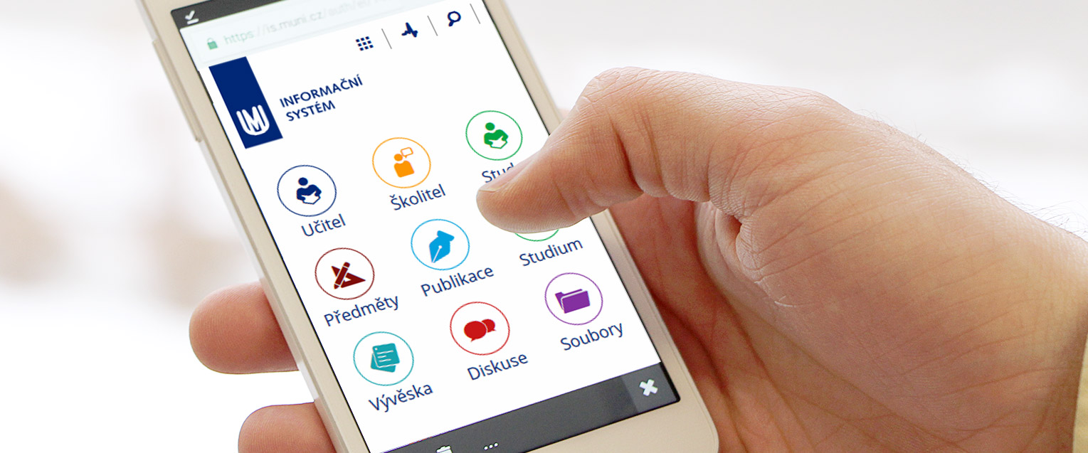 Připravujeme další vylepšení pro mobilní zařízení.