Využití GIS a digitálních map ve výuce geografii cestovního ruchu na SOŠ – Ing. Marie Sedláková
Ing. Marie Sedláková
absolventská práce studenta CŽV
Využití GIS a digitálních map ve výuce geografii cestovního ruchu na SOŠ
Utilization GIS and digital maps in teaching tourism geographic on high school
Abstract:
Tato závěrečná práce se věnovala tématu využití GIS a digitálních map ve výuce geografie cestovního ruchu. Práce měla celkem tři cíle – studenti se naučí základní kartografická pravidla (co musí obsahovat mapa, co je legenda, kompozice map), studenti lépe pochopí geografické objekty z leteckých snímků (ledovec) a studenti dokáží vytvořit jednoduché mapy. Tyto cíle byly aplikovány do celkem sedmi aktivit …moreAbstract:
This final thesis was devoted to the topic of using GIS and digital maps in the teaching of tourism geography. The work had a total of three goals – students will learn basic cartographic rules (what a map must contain, what is the legend, map composition), students will better understand geographical objects from aerial photographs (glacier) and students will be able to create simple maps. These goals …more
Language used: Czech
Date on which the thesis was submitted / produced: 16. 11. 2023
Thesis defence
- Date of defence: 10. 1. 2024
- Supervisor: Mgr. Jiří Votava, Ph.D.
- Reader: Radmila Dytrtová, CSc.
Citation record
ISO 690-compliant citation record:
SEDLÁKOVÁ, Marie. \textit{Využití GIS a digitálních map ve výuce geografii cestovního ruchu na SOŠ}. Online. Final thesis of the lifelong learning student. Praha: Czech University of Life Sciences Prague, Institute of Education and Communication. 2023. Available from: https://theses.cz/id/a6l7ut/.
Full text of thesis
Contents of on-line thesis archive
Published in Theses:- světu
Other ways of accessing the text
Institution archiving the thesis and making it accessible: Česká zemědělská univerzita v Praze, Institut vzdělávání a poradenstvíCzech University of Life Sciences Prague
Institute of Education and Communicationceloživotní / field:
Extension course / Study for Teaching Vocational Subjects
Theses on a related topic
-
Digital twins in the context of disaster preparedness: fusion of GIS and game engines
Anatole Matthias DELIGANT -
Implementation of precise forestry tools to forest management of small scale forest owners in Hungary
Peter Czigany -
Geoinformatická podpora mapování pro návrh naučné trasy v oblasti Tachovska / CHKO Český les
Michal Folejtar -
Návrhy využití geografických informačních systémů v hodinách zeměpisu na základních a středních školách
Jiří NERAD
Name
Posted by
Uploaded/Created
Rights
Folders
Files
-
Co je jinak přidání souboru
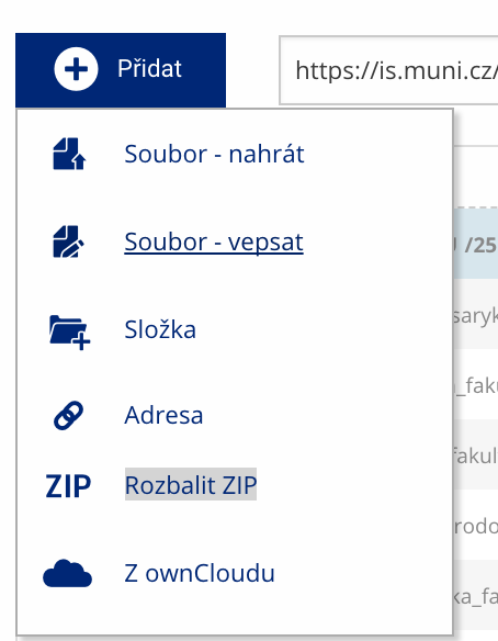 Soubor nebo složku lze nahrát pomocí tlačítka Přidat.
 -
Co je jinak další operace se soubory
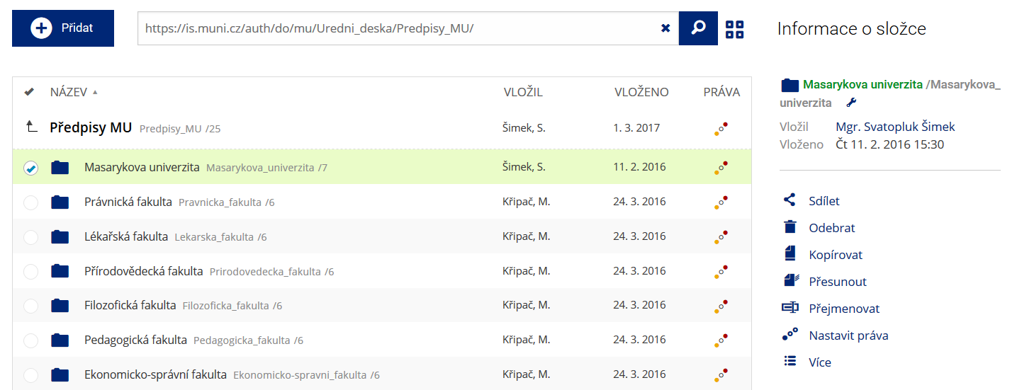 Podrobnosti lze zjistit označením příslušného řádku.
 -
Co je jinak pohled pro experty
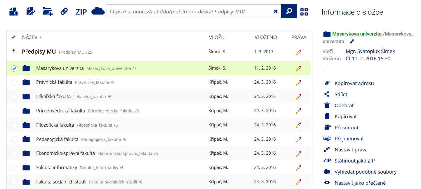 Pro častou práci je možné zvolit režim Více možností.
 -
Co je nové vyhledávání souborů
 Vyhledávaný výraz můžete zadat přímo do adresního řádku.
 -
Co je nové rychlý přístup k souborům
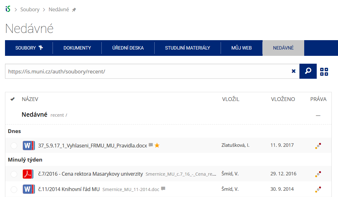 Pomocí funkce Nedávné je možné se rychle vrátit k právě prohlíženým souborům. Oblíbené soubory je také možné označit Hvězdičkou.
 -
Co se chystá
 Připravujeme další vylepšení pro mobilní zařízení.