USING GEOTAGGED PHOTOS TO DESIGN ETOSHA NATIONAL PARK MAP SET – Muhammad BILAL
Muhammad BILAL
Master's thesis
USING GEOTAGGED PHOTOS TO DESIGN ETOSHA NATIONAL PARK MAP SET
Using Geotagged Photos to Design Etosha National Park Map set
Abstract:
The main aim of this diploma thesis is to design cartographic-style maps for younger people, the public, and experts that visualize wildlife species distribution information using geotagged photos and landscape features of Etosha National Park. The design maps are then published on the web, combined with an interactive map that allows users to dynamically interact with wildlife data and landscape features …moreAbstract:
The main aim of this diploma thesis is to design cartographic-style maps for younger people, the public, and experts that visualize wildlife species distribution information using geotagged photos and landscape features of Etosha National Park. The design maps are then published on the web, combined with an interactive map that allows users to dynamically interact with wildlife data and landscape features …more
Language used: English
Date on which the thesis was submitted / produced: 20. 5. 2024
Thesis defence
- Supervisor: Mgr. Radek Barvíř, Ph.D.
Citation record
The right form of listing the thesis as a source quoted
BILAL, Muhammad. USING GEOTAGGED PHOTOS TO DESIGN ETOSHA NATIONAL PARK MAP SET. Olomouc, 2024. diplomová práce (Mgr.). UNIVERZITA PALACKÉHO V OLOMOUCI. Přírodovědecká fakulta
Full text of thesis
Contents of on-line thesis archive
Published in Theses:- světu
Other ways of accessing the text
Institution archiving the thesis and making it accessible: UNIVERZITA PALACKÉHO V OLOMOUCI, Přírodovědecká fakultaPalacký University Olomouc
Faculty of ScienceMaster programme / field:
Geoinformatics and Cartography / Geoinformatics and Cartography
Theses on a related topic
Name
Posted by
Uploaded/Created
Rights
Folders
Files
MARKLOVÁ, E.
21/5/2024
-
Co je jinak přidání souboru
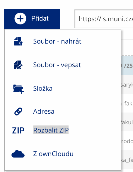 Soubor nebo složku lze nahrát pomocí tlačítka Přidat.
 -
Co je jinak další operace se soubory
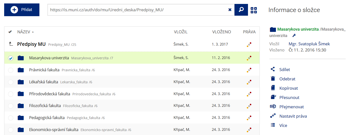 Podrobnosti lze zjistit označením příslušného řádku.
 -
Co je jinak pohled pro experty
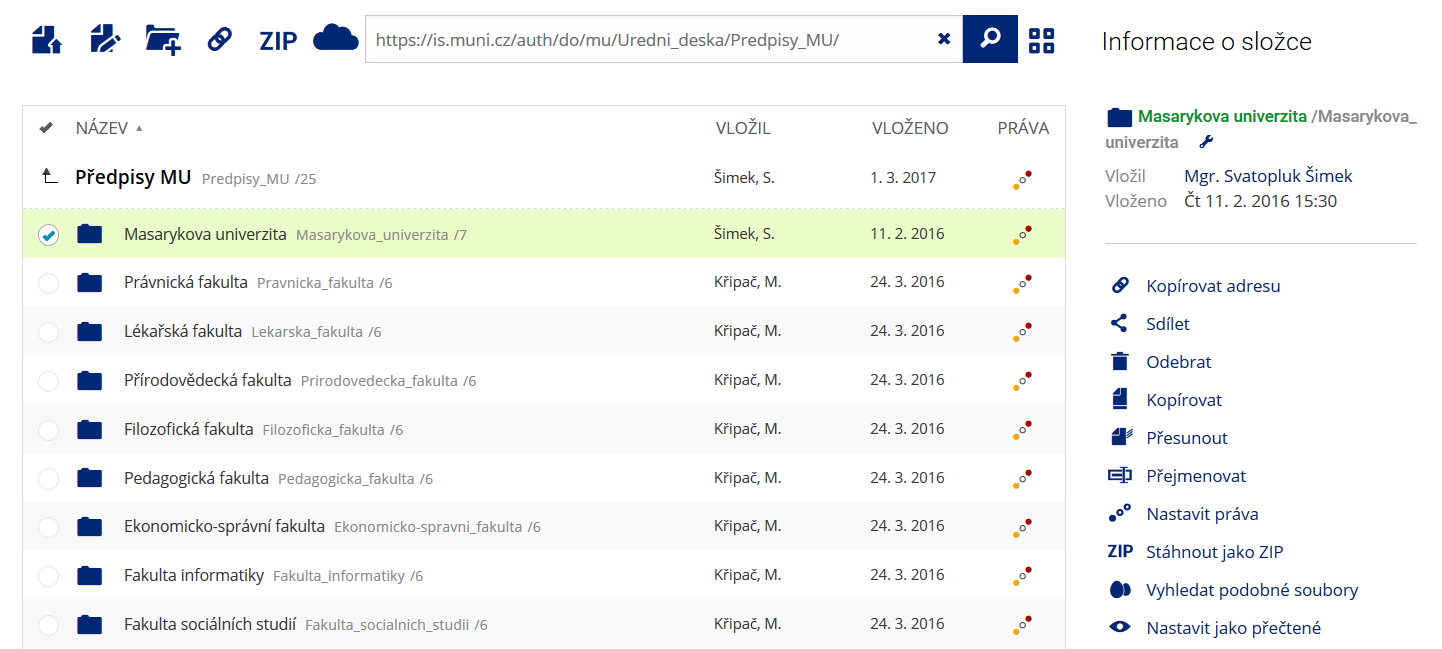 Pro častou práci je možné zvolit režim Více možností.
 -
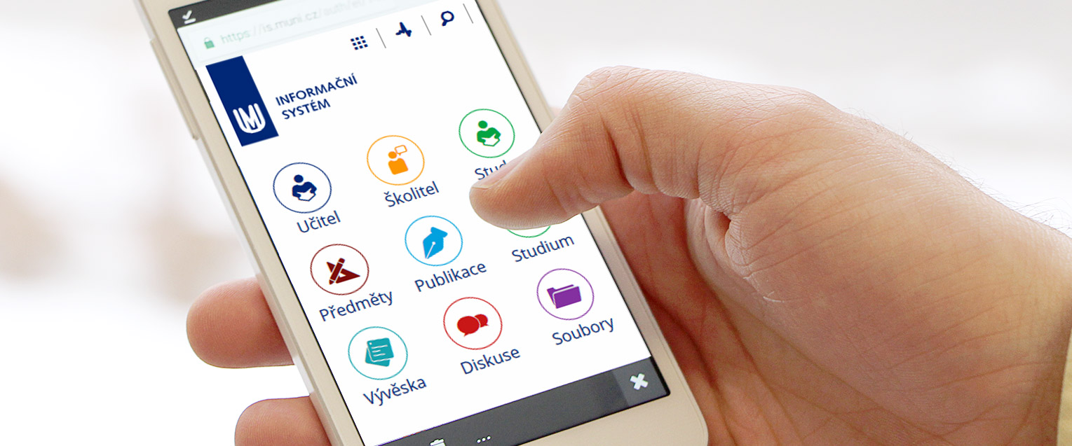
Co je nové vyhledávání souborů
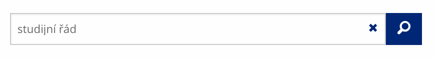 Vyhledávaný výraz můžete zadat přímo do adresního řádku.
 -
Co je nové rychlý přístup k souborům
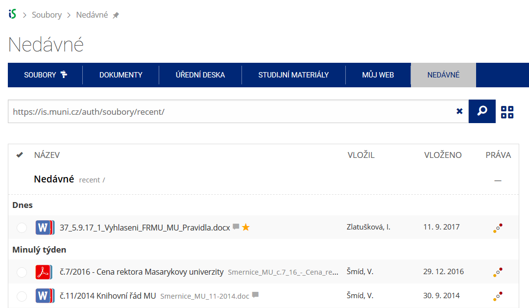 Pomocí funkce Nedávné je možné se rychle vrátit k právě prohlíženým souborům. Oblíbené soubory je také možné označit Hvězdičkou.
 -
Co se chystá
 Připravujeme další vylepšení pro mobilní zařízení.