Mapping Mangrove Forests: Processing and visualization of multi-sensor Earth Observation data for the Colombian Pacific coast – Sayana DE GOROSTIZAGA MOXON
Sayana DE GOROSTIZAGA MOXON
Master's thesis
Mapping Mangrove Forests: Processing and visualization of multi-sensor Earth Observation data for the Colombian Pacific coast
Mapping Mangrove Forests: Processing and visualization of multi-sensor Earth Observation data for the Colombian Pacific coast
Abstract:
Mangrove forests are among the most productive ecosystems on Earth and are essential for the preservation of biodiversity and the livelihoods of coastal communities around the world. However, they are facing severe threats from anthropogenic activities, which are having an impact on them both in a direct (human development, pollution, etc) and indirect (sea level rise, changing climatic conditions …moreAbstract:
Mangrove forests are among the most productive ecosystems on Earth and are essential for the preservation of biodiversity and the livelihoods of coastal communities around the world. However, they are facing severe threats from anthropogenic activities, which are having an impact on them both in a direct (human development, pollution, etc) and indirect (sea level rise, changing climatic conditions …more
Language used: English
Date on which the thesis was submitted / produced: 20. 5. 2021
Thesis defence
- Supervisor: Mgr. Rostislav Nétek, Ph.D.
Citation record
ISO 690-compliant citation record:
DE GOROSTIZAGA MOXON, Sayana. \textit{Mapping Mangrove Forests: Processing and visualization of multi-sensor Earth Observation data for the Colombian Pacific coast}. Online. Master's thesis. Olomouc: Palacký University Olomouc, Faculty of Science. 2021. Available from: https://theses.cz/id/rbkq6p/.
The right form of listing the thesis as a source quoted
DE GOROSTIZAGA MOXON, Sayana. Mapping Mangrove Forests: Processing and visualization of multi-sensor Earth Observation data for the Colombian Pacific coast. Olomouc, 2021. diplomová práce (Mgr.). UNIVERZITA PALACKÉHO V OLOMOUCI. Přírodovědecká fakulta
Full text of thesis
Contents of on-line thesis archive
Published in Theses:- světu
Other ways of accessing the text
Institution archiving the thesis and making it accessible: UNIVERZITA PALACKÉHO V OLOMOUCI, Přírodovědecká fakultaPalacký University Olomouc
Faculty of ScienceMaster programme / field:
Geoinformatics and Cartography / Geoinformatics and Cartography
Theses on a related topic
-
ANALYSIS AND 3D VISUALISATION OF WILDFIRES USING EARTH OBSERVATION DATA
Opeyemi Adeshewa KAZEEM-JIMOH -
Leveraging Machine Learning for Time Series Predictive Analysis
Samuel Ambros -
Monitoring the Evolution of the Kaiwhata Landslide in New Zealand using Object-based Image Analysis and Sentinel-2 Time Series
Kiarash POOLADSAZ -
Real time series analysis in terms of predictability, entropy and chaos
Jiří Tomčala -
Time Series Analysis
Bohumil Kolář -
Time series Analysis
Vojtěch Kotík -
Time Series Analysis of Stock Index Forecasting
Yue Zheng -
Time series analysis with Python
Illia Prazdnyk
Name
Posted by
Uploaded/Created
Rights
-
Co je jinak přidání souboru
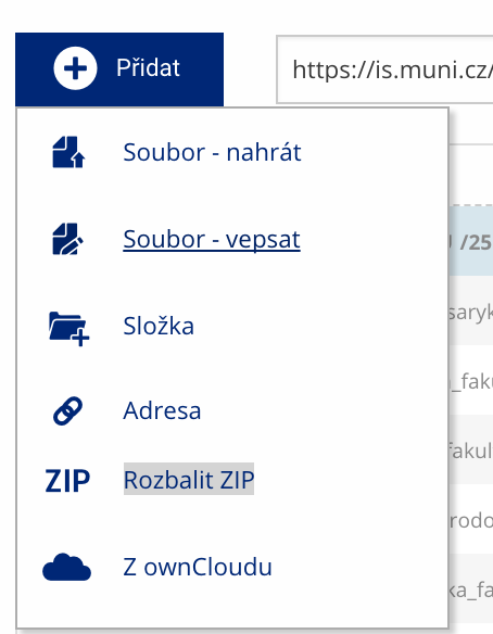 Soubor nebo složku lze nahrát pomocí tlačítka Přidat.
 -
Co je jinak další operace se soubory
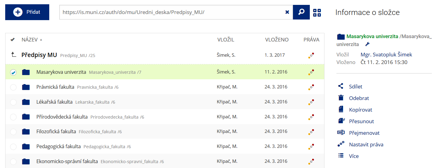 Podrobnosti lze zjistit označením příslušného řádku.
 -
Co je jinak pohled pro experty
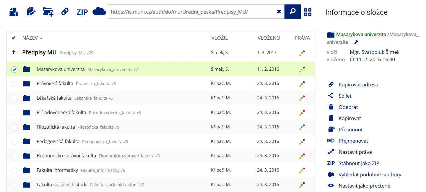 Pro častou práci je možné zvolit režim Více možností.
 -
Co je nové vyhledávání souborů
 Vyhledávaný výraz můžete zadat přímo do adresního řádku.
 -
Co je nové rychlý přístup k souborům
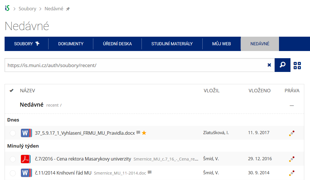 Pomocí funkce Nedávné je možné se rychle vrátit k právě prohlíženým souborům. Oblíbené soubory je také možné označit Hvězdičkou.
 -
Co se chystá
 Připravujeme další vylepšení pro mobilní zařízení.