Využití Sítě permanentních stanic České republiky pro prostorové zaměření lokality v katastrálním území Bor u Nedvědice jako podkladu pro projekt pozemkových úprav – Vít Krytinář
Vít Krytinář
Bachelor's thesis
Využití Sítě permanentních stanic České republiky pro prostorové zaměření lokality v katastrálním území Bor u Nedvědice jako podkladu pro projekt pozemkových úprav
Utilization network of permanent stations Czech Republic for spatial survey locality in the cadastral territory Bor u Nedvědice as a basis for land consolidation project
Abstract:
Bakalářská práce je zaměřena na geodetické zaměření části katastrálního území Bor u Nedvědice. Práce se zabývá využitím metody GNSS za pomoci sítě permanentních stanic České republiky CZEPOS. V návaznosti na měření GPS je popsána tachymetrie jako další použitá metoda měření. Výsledkem práce je účelová mapa v měřítku 1:750 s prvky polohopisu a výškopisem ve formě vrstevnic. Mapa bude sloužit při realizaci …moreAbstract:
Bachelor thesis is focused on geodetic surveying the part of cadastral territory Bor u Nedvědice. The work deals with the use of GNSS method with support of the permanent stations Czech Republic CZEPOS. Following the GPS measurements is described tacheometry as other measurement method used. The result is a purpose map at a scale of 1:750 with elements of topography and elevation in the form of contour …more
Language used: Czech
Date on which the thesis was submitted / produced: 29. 4. 2015
Thesis defence
- Supervisor: Ing. Miloš Cibulka, Ph.D.
Citation record
ISO 690-compliant citation record:
KRYTINÁŘ, Vít. \textit{Využití Sítě permanentních stanic České republiky pro prostorové zaměření lokality v katastrálním území Bor u Nedvědice jako podkladu pro projekt pozemkových úprav}. Online. Bachelor's thesis. Brno: Mendelova univerzita v Brně, Faculty of Forestry and Wood Technology. 2015. Available from: https://theses.cz/id/sdddp0/.
Full text of thesis
Contents of on-line thesis archive
Published in Theses:- světu
Other ways of accessing the text
Institution archiving the thesis and making it accessible: Mendelova univerzita v Brně, Lesnická a dřevařská fakultaMendel University in Brno
Faculty of Forestry and Wood TechnologyBachelor programme / field:
Agricultural Specialization / Land consolidation and soil
Theses on a related topic
-
Vyhotovení účelové mapy jako podklad pro osazení dřevostavby rodinného domu do terénu
Michal Opluštil -
Vytvoření účelové mapy jako technický podklad pro projekt pozemkových úprav
Martina Kovářová -
Využití sítě CZEPOS pro tvorbu účelové mapy jako podkladu k rozšíření parku Smetanovy sady ve Vyškově
Jiří Sedláček -
Zaměření polohopisu a výškopisu pro projekt zaústění nové kanalizace do vodního toku (Paskov – Oprechtice)
Adam Dědina -
Využití sítě CZEPOS pro tvorbu účelové mapy jako podkladu k rozšíření parku Smetanovy sady ve Vyškově
Jiří Sedláček -
Komunitní GPS navigace WAZE a její srovnání s ostatními GPS navigacemi
Roman Dušek -
GPS tracking system using the Sigfox IoT network
Marek Mišík -
GPS Drawing v kontextu umění nových médií
Tereza Cenková
Name
Posted by
Uploaded/Created
Rights
Folders
Files
-
Co je jinak přidání souboru
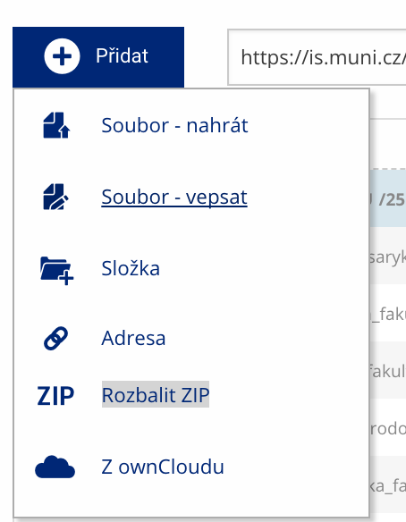 Soubor nebo složku lze nahrát pomocí tlačítka Přidat.
 -
Co je jinak další operace se soubory
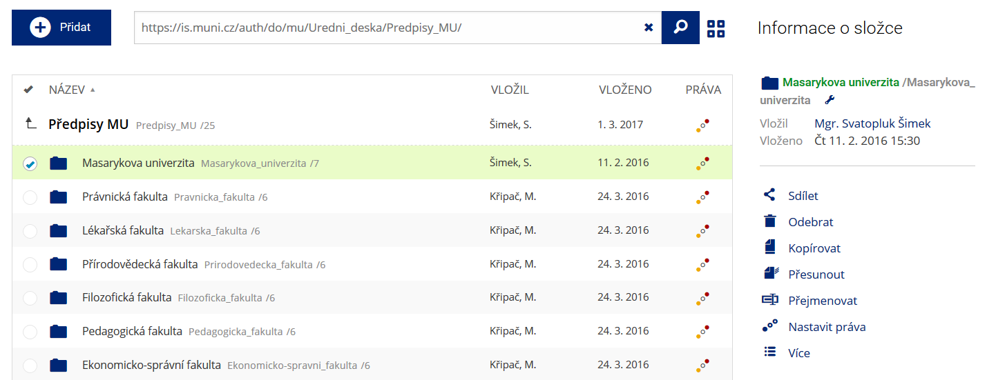 Podrobnosti lze zjistit označením příslušného řádku.
 -
Co je jinak pohled pro experty
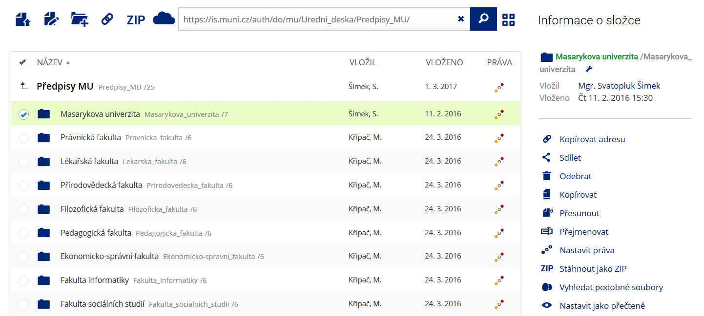 Pro častou práci je možné zvolit režim Více možností.
 -
Co je nové vyhledávání souborů
 Vyhledávaný výraz můžete zadat přímo do adresního řádku.
 -
Co je nové rychlý přístup k souborům
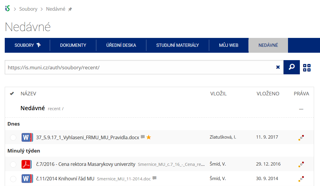 Pomocí funkce Nedávné je možné se rychle vrátit k právě prohlíženým souborům. Oblíbené soubory je také možné označit Hvězdičkou.
 -
Co se chystá
 Připravujeme další vylepšení pro mobilní zařízení.