Využití pozemní fotogrammetrie pro inventarizaci lesních porostů – Bc. Martin Řezba
Bc. Martin Řezba
Master's thesis
Využití pozemní fotogrammetrie pro inventarizaci lesních porostů
Use of terrestrial photogrammetry for the inventory of forest stands
Abstract:
Diplomová práce se zabývá využitím pozemní a zároveň letecké fotogrammetrie pro účely inventarizace lesních porostů. Práce popisuje a analyzuje postup sběru a zpracování dat v softwaru Agisoft PhotoScan a softwaru ArcGIS pro automatický výpočet stromových parametrů z fotogrammetrického mračna bodů, získaného snímkováním uvnitř listnatého porostu v předmýtním věku v kombinaci se snímkováním ze vzduchu …moreAbstract:
The purpose of this thesis is to evaluate utilization of terrestrial and aerial photogrammetry in the forest inventory process. It describes and analyzes data collection and processing in Agisoft PhotoScan and ArcGIS software, with the use of automatically calculated tree parameters from a photogrammetric point cloud obtained by imaging the inside of the forest stand in combination with an imagery …more
Language used: Czech
Date on which the thesis was submitted / produced: 21. 4. 2017
Thesis defence
- Supervisor: Ing. Tomáš Mikita, Ph.D.
Citation record
ISO 690-compliant citation record:
ŘEZBA, Martin. \textit{Využití pozemní fotogrammetrie pro inventarizaci lesních porostů}. Online. Master's thesis. Brno: Mendelova univerzita v Brně, Faculty of Forestry and Wood Technology. 2017. Available from: https://theses.cz/id/g9r8i4/.
Full text of thesis
Contents of on-line thesis archive
Published in Theses:- světu
Other ways of accessing the text
Institution archiving the thesis and making it accessible: Mendelova univerzita v Brně, Lesnická a dřevařská fakultaMendel University in Brno
Faculty of Forestry and Wood TechnologyMaster programme / field:
Forest Engineering / Forest Engineering
Theses on a related topic
-
Výpočet stromových charakteristik v dubovém porostu pomocí letecké a pozemní fotogrammetrie
Petr Homola -
Tvorba detailního digitálního modelu povrchu metodou pozemní fotogrammetrie
Jiří Oškera -
Modelování a charakteristika lesních porostů pomocí letecké a pozemní fotogrammetrie
Šimon Trčka -
Propojení leteckého snímkování a pozemního laserového skenování pro hydrologické mapování
Jan Holub -
Polohová přesnost ortofota z blízké letecké fotogrammetrie (bez použití vlícovacích bodů).
Matyáš PODEŠVA -
UAV fotogrammetrie a metody obrazové analýzy v polním pokusnictví
Bohumil GARTNER -
Modelování a charakteristika lesních porostů pomocí letecké a pozemní fotogrammetrie
Šimon Trčka -
Stanovení metrik sněhové pokrývky pomocí metod fotogrammetrie a DPZ
Marie PAJDOVÁ
Name
Posted by
Uploaded/Created
Rights
Folders
Files
-
Co je jinak přidání souboru
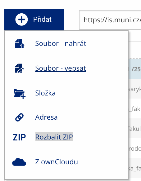 Soubor nebo složku lze nahrát pomocí tlačítka Přidat.
 -
Co je jinak další operace se soubory
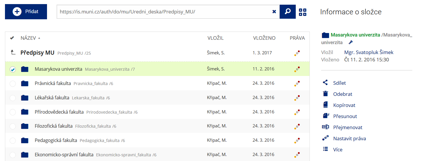 Podrobnosti lze zjistit označením příslušného řádku.
 -
Co je jinak pohled pro experty
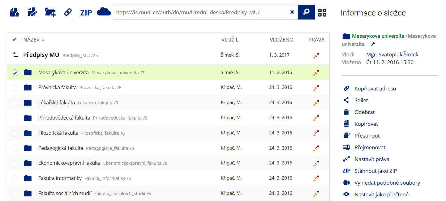 Pro častou práci je možné zvolit režim Více možností.
 -
Co je nové vyhledávání souborů
 Vyhledávaný výraz můžete zadat přímo do adresního řádku.
 -
Co je nové rychlý přístup k souborům
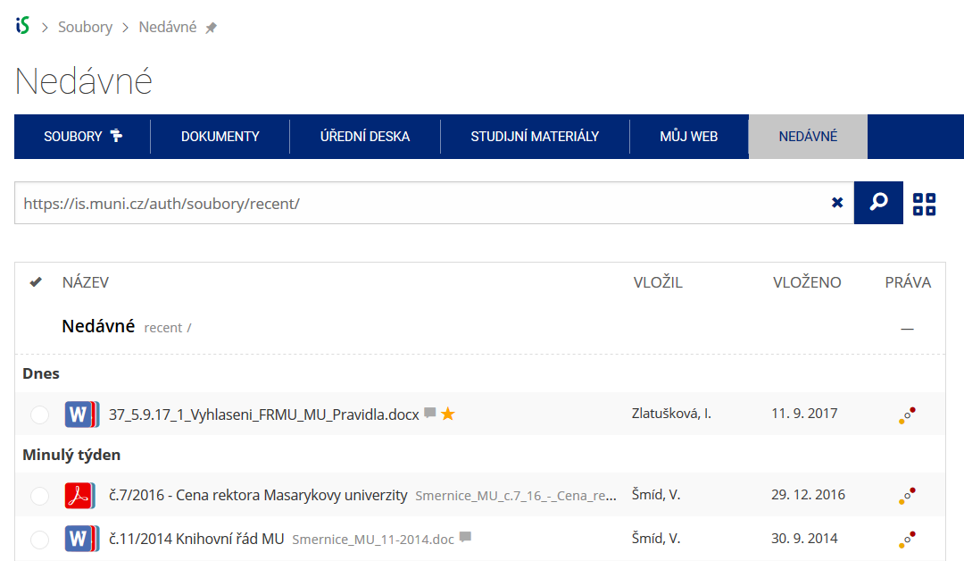 Pomocí funkce Nedávné je možné se rychle vrátit k právě prohlíženým souborům. Oblíbené soubory je také možné označit Hvězdičkou.
 -
Co se chystá
 Připravujeme další vylepšení pro mobilní zařízení.