Land Use And Land Cover Change Surounding The Rimov Reservoir In South Bohemia,Czech Republic – B.Sc. Chambo Wongibe, BSc
B.Sc. Chambo Wongibe, BSc
Master's thesis
Land Use And Land Cover Change Surounding The Rimov Reservoir In South Bohemia,Czech Republic
Abstract:
The aim of this study is to produce maps of land use and land cover of the Rimov Reservoir and Surroundings on previous years to monitor the possible changes that may occur since the creation of the dam site and to assess the trends of land use and land cover change. LULC changes were investigated using remote sensing data with the help of Google Earth Engine and GIS software. Geographic information …more
Language used: English
Date on which the thesis was submitted / produced: 30. 3. 2021
Thesis defence
- Supervisor: Ing. Zdeněk Keken, Ph.D.
Citation record
ISO 690-compliant citation record:
WONGIBE, Chambo. \textit{Land Use And Land Cover Change Surounding The Rimov Reservoir In South Bohemia,Czech Republic}. Online. Master's thesis. Praha: Czech University of Life Sciences Prague, Faculty of Environmental Sciences. 2021. Available from: https://theses.cz/id/f5hg7b/.
Full text of thesis
Contents of on-line thesis archive
Published in Theses:- světu
Other ways of accessing the text
Institution archiving the thesis and making it accessible: Česká zemědělská univerzita v Praze, Fakulta životního prostředíCzech University of Life Sciences Prague
Faculty of Environmental SciencesMaster programme / field:
Engineering Ecology / Nature Conservation
Theses on a related topic
-
ANALYSIS OF LITERACY RATE WITH THE HELP OF GEOGRAPHIC INFORMATION SYSTEMS (GIS)
Atakan Aydoğar -
Use of Geographic Information System in Environmental Science
Ondřej Sáňka -
Automatizace konstrukce geologické mapy v prostředí GIS
Denisa Poulová -
Tvorba turistického portálu mikroregionu Kahan s využitím GIS
Erik Mühlberger -
Docházková vzdálenost k zastávce dopravní obslužnosti v obcích mikroregionu Telčsko, vyjádřená pomocí GIS.
Pazour Pazour -
Resilience thinking within water, energy and food nexus in a drought prone area: A GIS based analysis for solar irrigation suitability
Eniololade GIWA -
Použití geografického informačního systému (GIS) v podmínkách ZZS
Tomáš RAJZR -
Historická analýza vývoje land-use ve vybraném území
Miroslav KOLÁŘ
Name
Posted by
Uploaded/Created
Rights
Folders
Files
Mach, J.
31/3/2021
-
Co je jinak přidání souboru
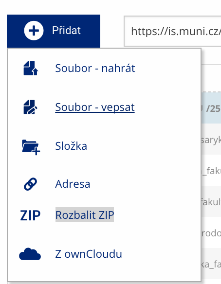 Soubor nebo složku lze nahrát pomocí tlačítka Přidat.
 -
Co je jinak další operace se soubory
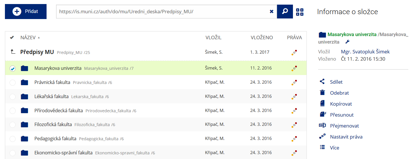 Podrobnosti lze zjistit označením příslušného řádku.
 -
Co je jinak pohled pro experty
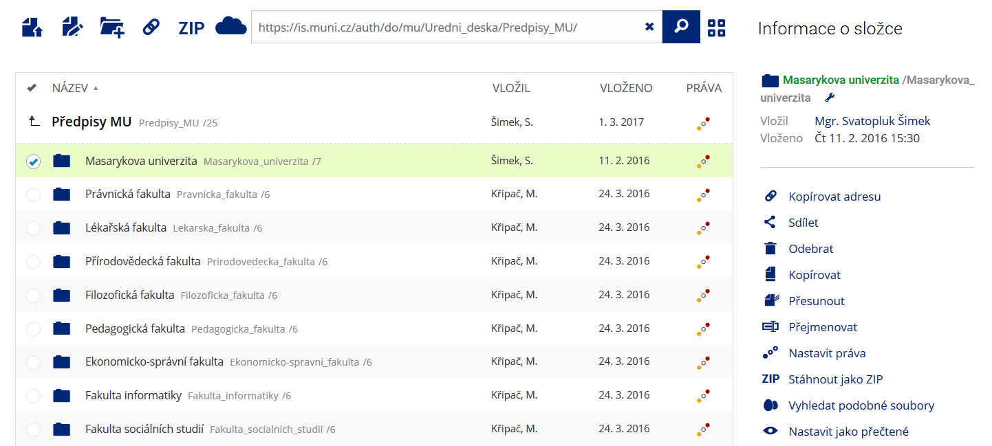 Pro častou práci je možné zvolit režim Více možností.
 -
Co je nové vyhledávání souborů
 Vyhledávaný výraz můžete zadat přímo do adresního řádku.
 -
Co je nové rychlý přístup k souborům
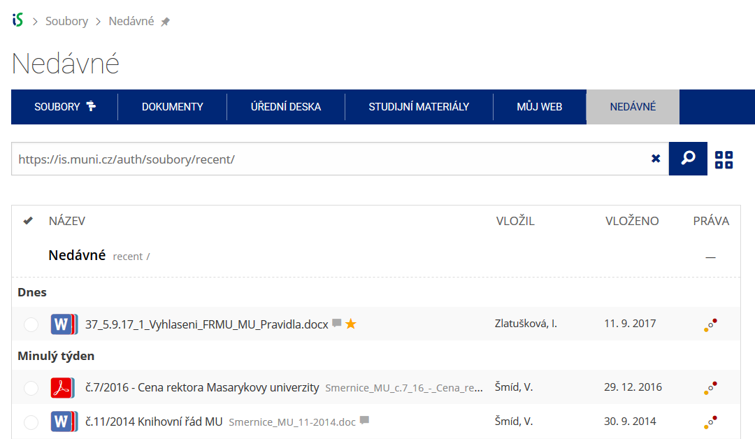 Pomocí funkce Nedávné je možné se rychle vrátit k právě prohlíženým souborům. Oblíbené soubory je také možné označit Hvězdičkou.
 -
Co se chystá
 Připravujeme další vylepšení pro mobilní zařízení.