Spatial data quality in digital visibility models – Ing. Ondřej Lagner
Ing. Ondřej Lagner
Doctoral thesis
Spatial data quality in digital visibility models
Abstract:
Digital terrain models and applied visibility analyses are widely used tools of geoinformatics. They have an irreplaceable position in landscape evaluation as well as in evaluation of individual interventions. Similarly, they can facilitate assessment of projects in the fields of landscape ecology, animal ecology, urban planning, architecture and civil engineering, urbanization, planning of tourist …more
Language used: English
Date on which the thesis was submitted / produced: 30. 8. 2019
Thesis defence
- Supervisor: doc. Ing. Petra Šímová, Ph.D.
- Reader: Rudolf Urban, Ing., externi
Citation record
ISO 690-compliant citation record:
LAGNER, Ondřej. \textit{Spatial data quality in digital visibility models}. Online. Doctoral theses, Dissertations. Praha: Czech University of Life Sciences Prague, Faculty of Environmental Sciences. 2019. Available from: https://theses.cz/id/jpzmj5/.
Full text of thesis
Contents of on-line thesis archive
Published in Theses:- světu
Other ways of accessing the text
Institution archiving the thesis and making it accessible: Česká zemědělská univerzita v Praze, Fakulta životního prostředíCzech University of Life Sciences Prague
Faculty of Environmental SciencesDoctoral programme / field:
Environmental Sciences / Applied and Landscape Ecology
Theses on a related topic
-
Development of a tool for digital terrain analysis
Daria Rapoport -
Optimální digitální model terénu pro erozní analýzy
Kamila Středová -
Digitální model terénu pro hydrodynamické modelování v HEC-RAS
Jiří DOUPAL -
Digitální model terénu skládky TKO Hantály a. s. ve Velkých Bílovicích
Romana Bařinová -
Impact of virtualization on benchmark accuracy
Jakub Fabo -
Impact of Nested Virtualization to Benchmark Accuracy
Jakub Fabo -
Empirical evaluation of the accuracy and complexity of continuous-time pricing models
Marek Nemky -
Enhancing Forecasting Accuracy and Understanding Economic Relationships by Integrating Machine Learning and Econometrics
Yelyzaveta Shebalkova
Name
Posted by
Uploaded/Created
Rights
Folders
Files
-
Co je jinak přidání souboru
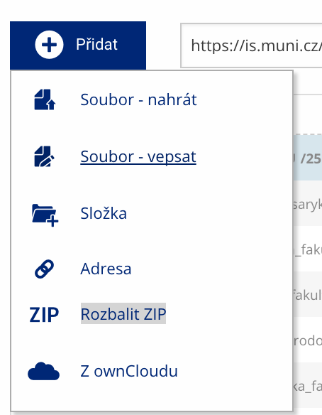 Soubor nebo složku lze nahrát pomocí tlačítka Přidat.
 -
Co je jinak další operace se soubory
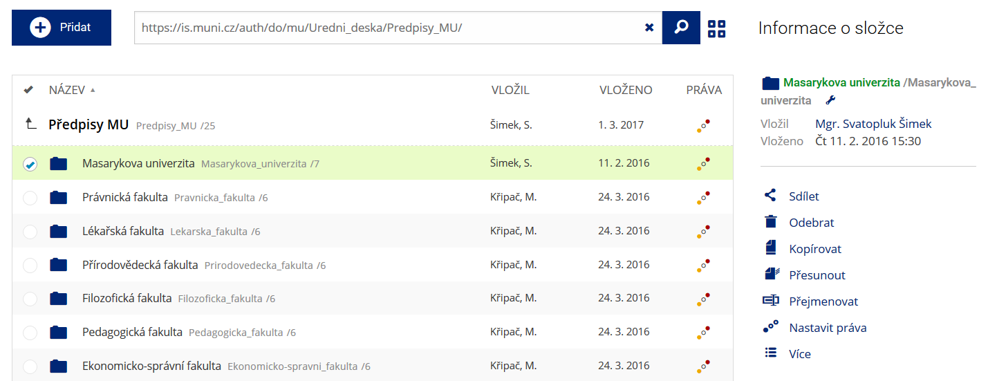 Podrobnosti lze zjistit označením příslušného řádku.
 -
Co je jinak pohled pro experty
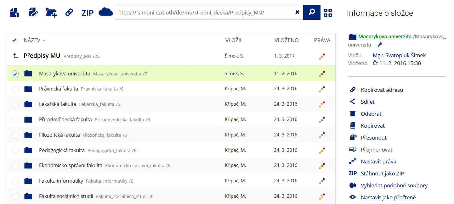 Pro častou práci je možné zvolit režim Více možností.
 -
Co je nové vyhledávání souborů
 Vyhledávaný výraz můžete zadat přímo do adresního řádku.
 -
Co je nové rychlý přístup k souborům
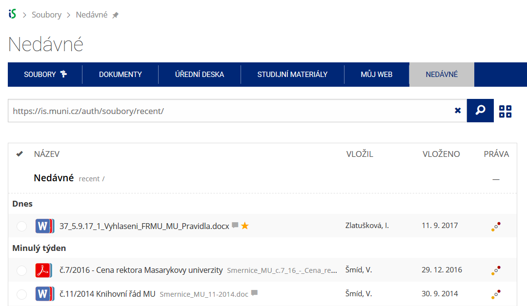 Pomocí funkce Nedávné je možné se rychle vrátit k právě prohlíženým souborům. Oblíbené soubory je také možné označit Hvězdičkou.
 -
Co se chystá
 Připravujeme další vylepšení pro mobilní zařízení.