A multimodal GIS network analysis of Prague cycling routes – Larry Daniel Shoemaker
Larry Daniel Shoemaker
Master's thesis
A multimodal GIS network analysis of Prague cycling routes
A multimodal GIS network analysis of Prague cycling routes
Abstract:
This multimodal transportation network GIS model simulates the spatial reach interactions between two different modes of transportation infrastructure: the bicycle and the Metro. This research begins with the development of a Prague, Czech Republic based GIS multimodal transportation network dataset consisting of type classified cycling routes and heavy-rail subway Metro routes. The model was used …moreAbstract:
This multimodal transportation network GIS model simulates the spatial reach interactions between two different modes of transportation infrastructure: the bicycle and the Metro. This research begins with the development of a Prague, Czech Republic based GIS multimodal transportation network dataset consisting of type classified cycling routes and heavy-rail subway Metro routes. The model was used …more
Language used: English
Date on which the thesis was submitted / produced: 22. 4. 2015
Thesis defence
- Supervisor: Ing. Vojtěch Barták
Citation record
ISO 690-compliant citation record:
SHOEMAKER, Larry Daniel. \textit{A multimodal GIS network analysis of Prague cycling routes}. Online. Master's thesis. Praha: Czech University of Life Sciences Prague, Faculty of Environmental Science. 2015. Available from: https://theses.cz/id/rf0q0q/.
Full text of thesis
Contents of on-line thesis archive
Published in Theses:- světu
Other ways of accessing the text
Institution archiving the thesis and making it accessible: Česká zemědělská univerzita v Praze, Fakulta životního prostředíCzech University of Life Sciences Prague
Faculty of Environmental ScienceMaster programme / field:
Landscape Engineering / Landscape Planning
Theses on a related topic
-
Visualization and Analysis of Historical Data in GIS
Adam Mertel -
Implementace DPZ a GIS v humanitární pomoci a rozvojové spolupráci
Simona Bočková -
Docházková vzdálenost k zastávce dopravní obslužnosti v obcích mikroregionu Telčsko, vyjádřená pomocí GIS.
Pazour Pazour -
Tvorba turistického portálu mikroregionu Kahan s využitím GIS
Erik Mühlberger -
Sestavení pocitové mapy v prostředí GIS vybraného města, jako prostředku komunikace veřejné správy s občany s důrazem na bezpečnost ve městě
Libuše Dvořáková -
Surface runoff modelling using the SCS-CN method and delineation of flood extents by a non-hydrodynamic GIS tool
Martin Caletka -
Možnosti prediktivního modelování lesních požárů pomocí GIS
Petr Vodička -
Sestavení pocitové mapy v prostředí GIS vybraného města, jako prostředku komunikace veřejné správy s občany s důrazem na bezpečnost ve městě
Gabriela Kaufmannová
Name
Posted by
Uploaded/Created
Rights
-
Co je jinak přidání souboru
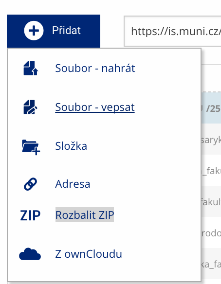 Soubor nebo složku lze nahrát pomocí tlačítka Přidat.
 -
Co je jinak další operace se soubory
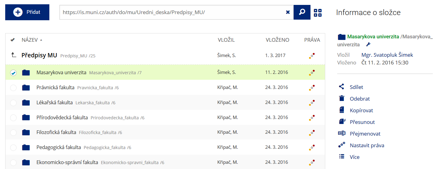 Podrobnosti lze zjistit označením příslušného řádku.
 -
Co je jinak pohled pro experty
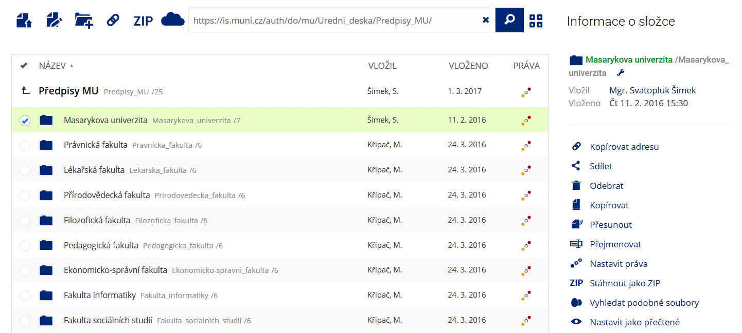 Pro častou práci je možné zvolit režim Více možností.
 -
Co je nové vyhledávání souborů
 Vyhledávaný výraz můžete zadat přímo do adresního řádku.
 -
Co je nové rychlý přístup k souborům
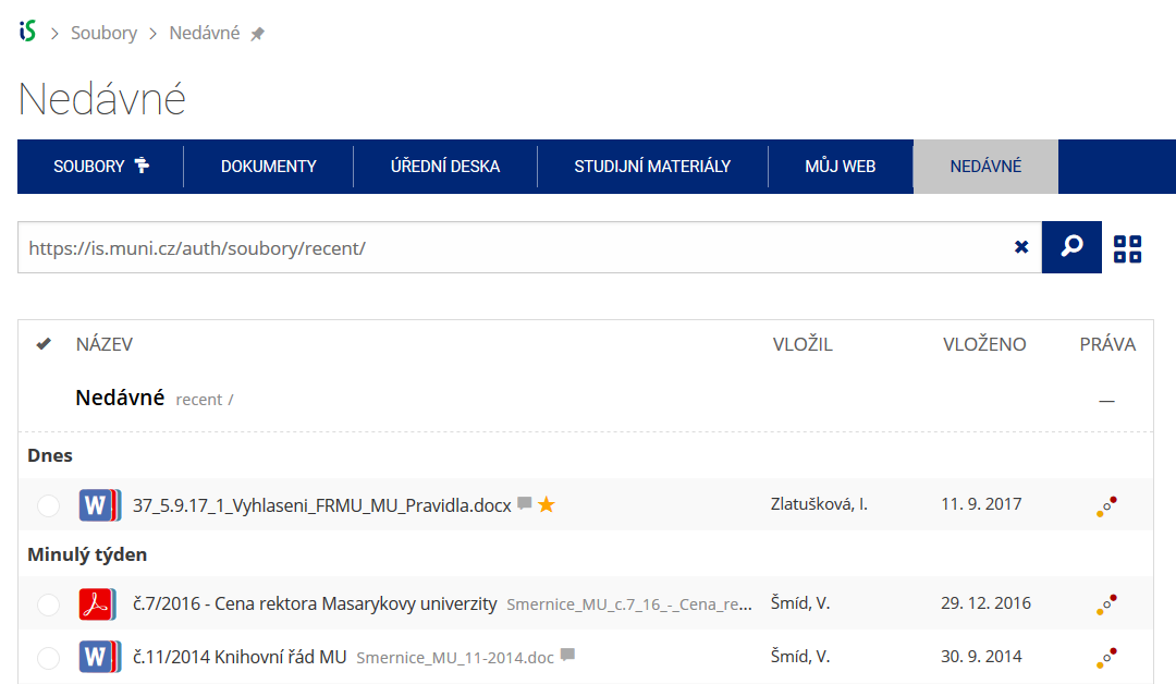 Pomocí funkce Nedávné je možné se rychle vrátit k právě prohlíženým souborům. Oblíbené soubory je také možné označit Hvězdičkou.
 -
Co se chystá
 Připravujeme další vylepšení pro mobilní zařízení.