Srovnání bodových mračen z laserového skenování a fotogrammetrie: terén a struktura vegetace – Bc. Jan Malý
Bc. Jan Malý
Master's thesis
Srovnání bodových mračen z laserového skenování a fotogrammetrie: terén a struktura vegetace
Comparison of LiDAR and SfM point clouds: terrain and vegetation structure
Abstract:
Letecké laserové skenování (LiDAR) se dlouhodobě používá k mapování zemského povrchu a data z něj slouží jako podklad k tvorbě digitálních elevačních modelů. Čím dál častěji se také používá v lesnictví pro odhad objemu dřevní hmoty, detekci korun jednotlivých stromů nebo určování jejich výšek. V posledních letech se jako alternativa používá fotogrammetrie získaná pomocí bezpilotních leteckých systémů …moreAbstract:
Airborne laser scanning (LiDAR) has been used to map the Earth's surface for a long time and data from this are used as a basis for the creation of digital elevation models. Increasingly, it is also used in forestry to estimate the volume of wood mass, to detect crowns of individual trees or to determine their heights. In recent years, photogrammetry obtained using unmanned aerial systems (UAS) has …more
Language used: Czech
Date on which the thesis was submitted / produced: 10. 12. 2018
Thesis defence
- Supervisor: Ing. Vítězslav Moudrý, Ph.D.
Citation record
ISO 690-compliant citation record:
MALÝ, Jan. \textit{Srovnání bodových mračen z laserového skenování a fotogrammetrie: terén a struktura vegetace}. Online. Master's thesis. Praha: Czech University of Life Sciences Prague, Faculty of Environmental Sciences. 2018. Available from: https://theses.cz/id/xnvuzj/.
Full text of thesis
Contents of on-line thesis archive
Published in Theses:- světu
Other ways of accessing the text
Institution archiving the thesis and making it accessible: Česká zemědělská univerzita v Praze, Fakulta životního prostředíCzech University of Life Sciences Prague
Faculty of Environmental SciencesMaster programme / field:
Landscape Engineering / Landscape Engineering
Theses on a related topic
-
Prostorová interpolace výšky vegetace z dat GEDI a ICESat-2
Ondřej Coufal -
Alpínská a subalpínská vegetace hory Midžur, Stara planina, Bulharsko
Daniel Szokala -
Porovnání leaf-off a leaf-on UAV modelů vegetace v bezpečnostním monitoringu
Barbora Maletínská -
Vliv struktury vegetace a terénu posttěžební lokality na druhovou diverzitu ptáků
Soňa Müllerová -
Vliv charakteru vegetace na výskyt tetřívka obecného v Krkonošském národním parku
Marie Čekanová -
Facilitating optimization of persistence layer in the UAS framework
Michal Kalinec -
Maven plugin na generovanie kódu pre UAS Forms
Tatiana Fritzová -
Využití UAS pro detekci podzemních prostor na vybraných svazích Západních Karpat
Karolína BEZDĚKOVÁ
Name
Posted by
Uploaded/Created
Rights
-
Co je jinak přidání souboru
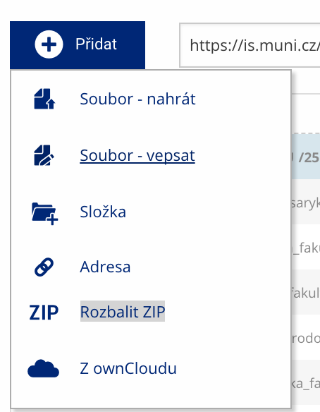 Soubor nebo složku lze nahrát pomocí tlačítka Přidat.
 -
Co je jinak další operace se soubory
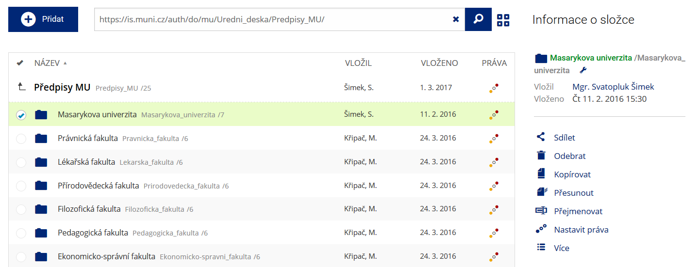 Podrobnosti lze zjistit označením příslušného řádku.
 -
Co je jinak pohled pro experty
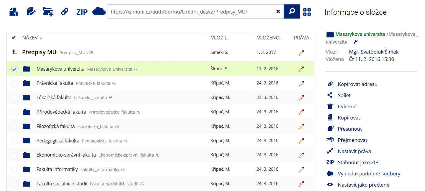 Pro častou práci je možné zvolit režim Více možností.
 -
Co je nové vyhledávání souborů
 Vyhledávaný výraz můžete zadat přímo do adresního řádku.
 -
Co je nové rychlý přístup k souborům
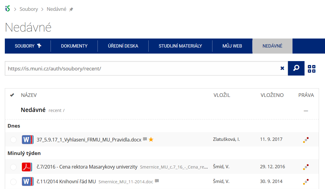 Pomocí funkce Nedávné je možné se rychle vrátit k právě prohlíženým souborům. Oblíbené soubory je také možné označit Hvězdičkou.
 -
Co se chystá
 Připravujeme další vylepšení pro mobilní zařízení.