Creating a virtual geographic learning environment and its user assessment – Guldariya KURBONOVA
Guldariya KURBONOVA
Master's thesis
Creating a virtual geographic learning environment and its user assessment
Creating a virtual geographic learning environment and its user assessment
Abstract:
The warming of the ocean and the melting of land ice, such as glaciers and the ice sheets in Greenland and Antarctica, have a direct consequence: sea level rise. Raising public awareness is essential in combating this issue. Traditional media like films and brochures can visually represent climate change's effects, but virtual reality offers a more immersive experience, enhancing environmental consciousness …moreAbstract:
The warming of the ocean and the melting of land ice, such as glaciers and the ice sheets in Greenland and Antarctica, have a direct consequence: sea level rise. Raising public awareness is essential in combating this issue. Traditional media like films and brochures can visually represent climate change's effects, but virtual reality offers a more immersive experience, enhancing environmental consciousness …more
Language used: English
Date on which the thesis was submitted / produced: 16. 8. 2023
Thesis defence
- Supervisor: RNDr. Stanislav Popelka, Ph.D.
Citation record
ISO 690-compliant citation record:
KURBONOVA, Guldariya. \textit{Creating a virtual geographic learning environment and its user assessment}. Online. Master's thesis. Olomouc: Palacký University Olomouc, Faculty of Science. 2023. Available from: https://theses.cz/id/zjwd8m/.
The right form of listing the thesis as a source quoted
KURBONOVA, Guldariya. Creating a virtual geographic learning environment and its user assessment. Olomouc, 2023. diplomová práce (Mgr.). UNIVERZITA PALACKÉHO V OLOMOUCI. Přírodovědecká fakulta
Full text of thesis
Contents of on-line thesis archive
Published in Theses:- světu
Other ways of accessing the text
Institution archiving the thesis and making it accessible: UNIVERZITA PALACKÉHO V OLOMOUCI, Přírodovědecká fakultaPalacký University Olomouc
Faculty of ScienceMaster programme / field:
Geoinformatics and Cartography / Geoinformatics and Cartography
Theses on a related topic
-
Rekonstrukce a 3D vizualizace historického stavu krajiny
Mária Kmošková -
Vliv formy 3D zobrazení na kognitivní zpracování geografických dat
Vojtěch Juřík -
Hodnocení uživatelského rozhraní GIS produktů při řešení geoúloh pomocí eye-tracking testování.
Václav KUDĚLKA -
Hodnocení uživatelského rozhraní GIS produktů při řešení geoúloh pomocí eye-tracking testování.
Václav KUDĚLKA -
Eye-tracking analýza statických interaktivních map s využitím nástroje ET2Spatial
Jan ŠENKEŘÍK -
Hodnocení 3D vizualizací v GIS s využitím sledování pohybu očí
Stanislav POPELKA -
Vyhodnocení eye tracking testování vizuálních programovacích jazyků
Jana ZIEGLEROVÁ -
DEVELOPMENT OF A GEOREFERENCED EYE-MOVEMENT DATA CREATION TOOL FOR INTERACTIVE WEB MAPS
Sultan MINHA NOOR
Name
Posted by
Uploaded/Created
Rights
Folders
Files
MARKLOVÁ, E.
17/8/2023
-
Co je jinak přidání souboru
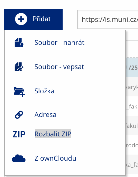 Soubor nebo složku lze nahrát pomocí tlačítka Přidat.
 -
Co je jinak další operace se soubory
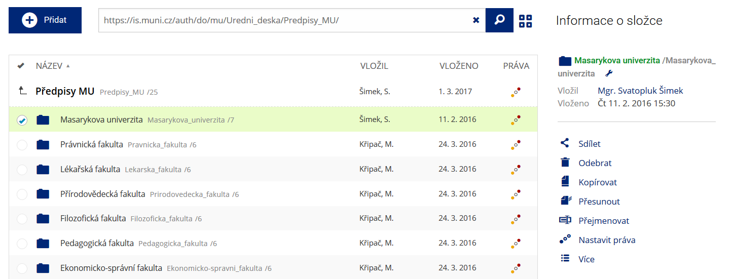 Podrobnosti lze zjistit označením příslušného řádku.
 -
Co je jinak pohled pro experty
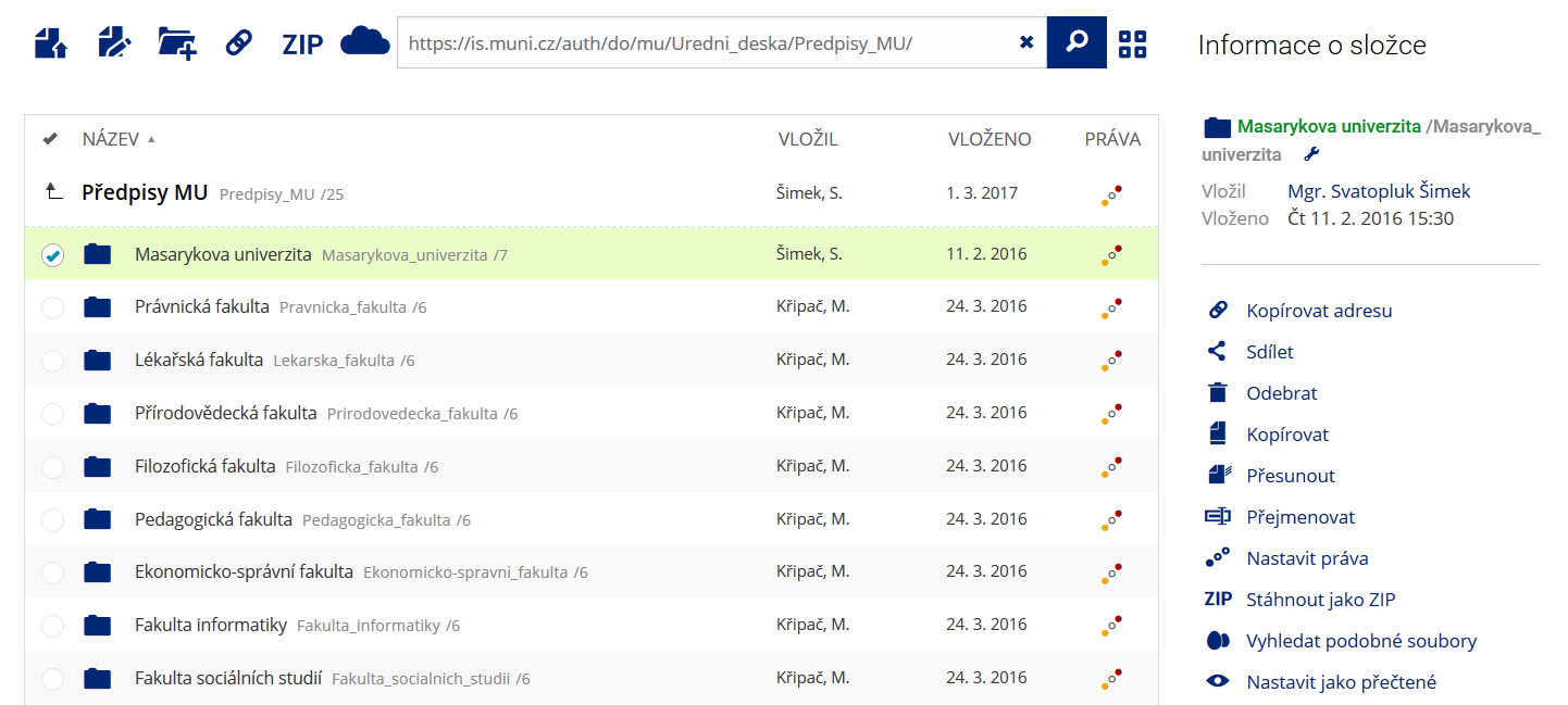 Pro častou práci je možné zvolit režim Více možností.
 -
Co je nové vyhledávání souborů
 Vyhledávaný výraz můžete zadat přímo do adresního řádku.
 -
Co je nové rychlý přístup k souborům
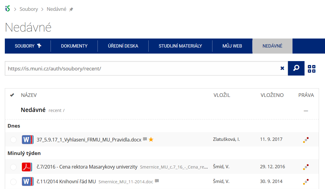 Pomocí funkce Nedávné je možné se rychle vrátit k právě prohlíženým souborům. Oblíbené soubory je také možné označit Hvězdičkou.
 -
Co se chystá
 Připravujeme další vylepšení pro mobilní zařízení.