Mapping and Monitoring Slums Using Geoinformation Technologies – Sheriff Oluwagbenga JIMOH
Sheriff Oluwagbenga JIMOH
Master's thesis
Mapping and Monitoring Slums Using Geoinformation Technologies
Mapping and Monitoring Slums Using Geoinformation Technologies
Abstract:
The main objective of this study is to map and monitor slums using geoinformation technologies with more focus on the comparison of GIS and image analysis methods, of remotely sensed imagery (i.e. pixel-based, object-based and deep learning) and their algorithms (maximum likelihood, random trees, support vector machine and U-Net classifier) thereby choosing the optimal algorithm for slum mapping. Two …moreAbstract:
The main objective of this study is to map and monitor slums using geoinformation technologies with more focus on the comparison of GIS and image analysis methods, of remotely sensed imagery (i.e. pixel-based, object-based and deep learning) and their algorithms (maximum likelihood, random trees, support vector machine and U-Net classifier) thereby choosing the optimal algorithm for slum mapping. Two …more
Language used: English
Date on which the thesis was submitted / produced: 20. 5. 2021
Thesis defence
- Supervisor: RNDr. Jan Brus, Ph.D.
Citation record
ISO 690-compliant citation record:
JIMOH, Sheriff Oluwagbenga. \textit{Mapping and Monitoring Slums Using Geoinformation Technologies}. Online. Master's thesis. Olomouc: Palacký University Olomouc, Faculty of Science. 2021. Available from: https://theses.cz/id/ixd5x6/.
The right form of listing the thesis as a source quoted
JIMOH, Sheriff Oluwagbenga. Mapping and Monitoring Slums Using Geoinformation Technologies. Olomouc, 2021. diplomová práce (Mgr.). UNIVERZITA PALACKÉHO V OLOMOUCI. Přírodovědecká fakulta
Full text of thesis
Contents of on-line thesis archive
Published in Theses:- světu
Other ways of accessing the text
Institution archiving the thesis and making it accessible: UNIVERZITA PALACKÉHO V OLOMOUCI, Přírodovědecká fakultaPalacký University Olomouc
Faculty of ScienceMaster programme / field:
Geoinformatics and Cartography / Geoinformatics and Cartography
Theses on a related topic
-
Monitoring the Evolution of the Kaiwhata Landslide in New Zealand using Object-based Image Analysis and Sentinel-2 Time Series
Kiarash POOLADSAZ -
Detecting Large Ungulates in the Middle East and Africa using UAV Acquired Imagery and Analysis
Meyer Etienne De Kock -
Support vector machines a evoluční algoritmy
Martin Ševčík -
Návrh klasifikátoru parametrů udržitelného rozvoje pomocí Support Vector Machine
Petra Špírková -
Localization of mobile devices using machine learning
Aleš Calábek -
Visualization and Analysis of Historical Data in GIS
Adam Mertel -
Tvorba turistického portálu mikroregionu Kahan s využitím GIS
Erik Mühlberger -
Možnosti prediktivního modelování lesních požárů pomocí GIS
Petr Vodička
Name
Posted by
Uploaded/Created
Rights
-
Co je jinak přidání souboru
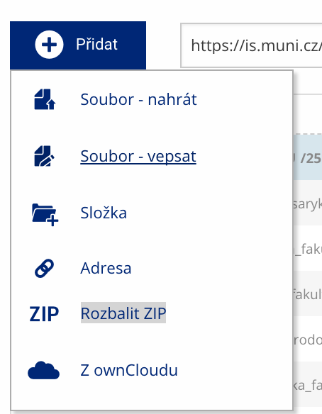 Soubor nebo složku lze nahrát pomocí tlačítka Přidat.
 -
Co je jinak další operace se soubory
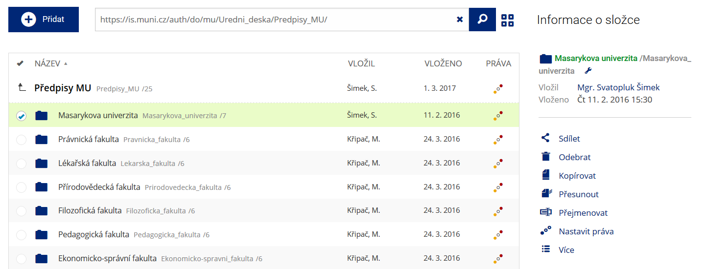 Podrobnosti lze zjistit označením příslušného řádku.
 -
Co je jinak pohled pro experty
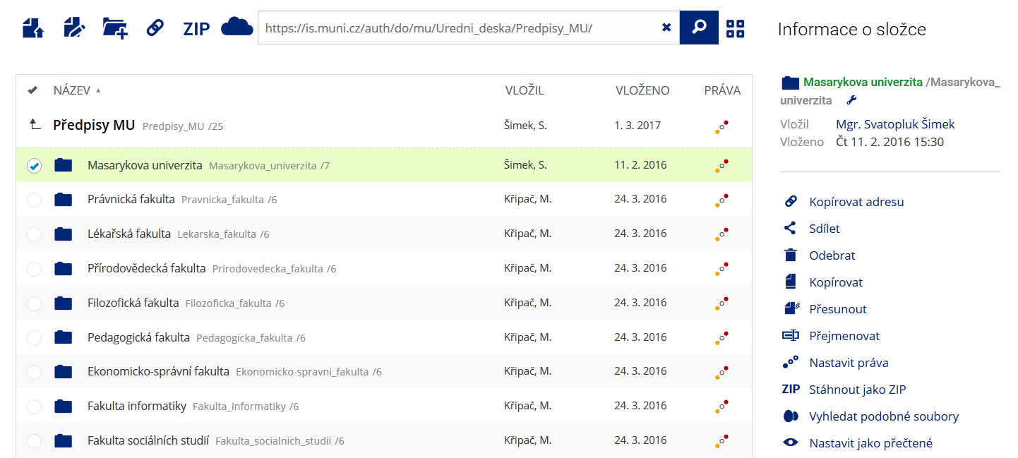 Pro častou práci je možné zvolit režim Více možností.
 -
Co je nové vyhledávání souborů
 Vyhledávaný výraz můžete zadat přímo do adresního řádku.
 -
Co je nové rychlý přístup k souborům
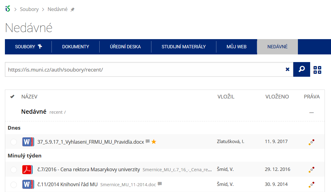 Pomocí funkce Nedávné je možné se rychle vrátit k právě prohlíženým souborům. Oblíbené soubory je také možné označit Hvězdičkou.
 -
Co se chystá
 Připravujeme další vylepšení pro mobilní zařízení.